

Question: Map projections serve to: Display a two - dimensional Earth on a two - dimensional map, while maximizing error Display the Earth in a perfectly
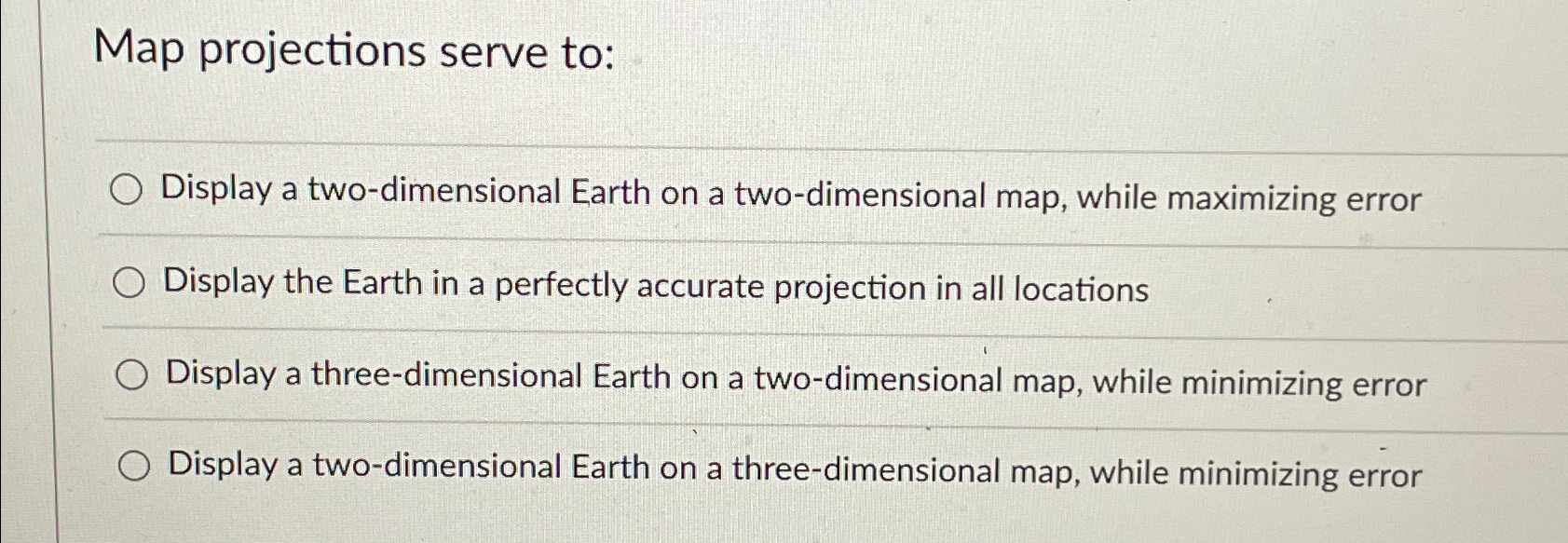
Map projections serve to:
Display a twodimensional Earth on a twodimensional map, while maximizing error
Display the Earth in a perfectly accurate projection in all locations
Display a threedimensional Earth on a twodimensional map, while minimizing error
Display a twodimensional Earth on a threedimensional map, while minimizing error
Step by Step Solution
There are 3 Steps involved in it
1 Expert Approved Answer
Step: 1 Unlock

Question Has Been Solved by an Expert!
Get step-by-step solutions from verified subject matter experts
Step: 2 Unlock
Step: 3 Unlock