

Question: Question 1 1 pts A sid file is a compressed file that reputable GIS packages can unpack and display on the fly. What is the
Question
pts
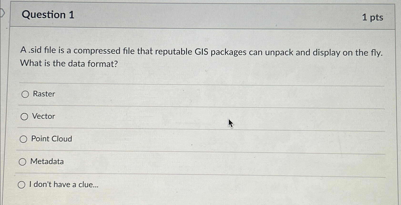
A sid file is a compressed file that reputable GIS packages can unpack and display on the fly. What is the data format?
Raster
Vector
Point Cloud
Metadata
I don't have a clue...
Step by Step Solution
There are 3 Steps involved in it
1 Expert Approved Answer
Step: 1 Unlock

Question Has Been Solved by an Expert!
Get step-by-step solutions from verified subject matter experts
Step: 2 Unlock
Step: 3 Unlock