

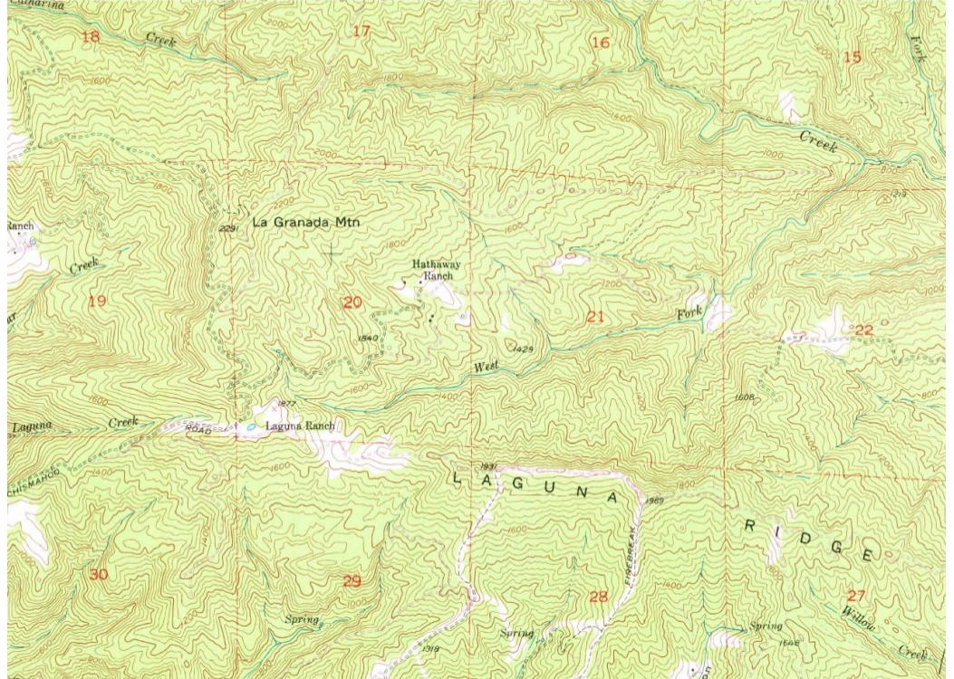
Question: Use the map on page 2 below to delineate the watershed boundary of West Fork of Coyote Creek ( on the map it is only
Use the map on page below to delineate the watershed boundary of West Fork of Coyote Creek on the map it is only labeled as West Fork The outlet of West Fork of Coyote Creek is on the top right, near to the right of where it says "Creek". This watershed may include a few subwatersheds with a few smaller creeks.
Step by Step Solution
There are 3 Steps involved in it
1 Expert Approved Answer
Step: 1 Unlock

Question Has Been Solved by an Expert!
Get step-by-step solutions from verified subject matter experts
Step: 2 Unlock
Step: 3 Unlock