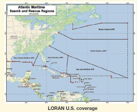
Before GPS, ships at sea located their positions using the LOng-RAnge Navigation system known as LORAN. In
Question:
Before GPS, ships at sea located their positions using the LOng-RAnge Navigation system known as LORAN. In this system, which ceased operation in 2010, a master station sent signals that could be received by ships at sea. To fix the position of a particular ship, a secondary sending station also emitted signals that could be received by the ship. Since the ship monitoring the two signals would be nearer one of the two stations, there would be a difference in the distances that the two signals travel. Because \(d=r t\), there was a slight time difference between the signals. If the ship followed a path so that the time difference remained constant, the path the ship followed could be determined. Suppose the difference in the arrival of the time signals is \(300 \mu \mathrm{sec}\). (Note: \(\mu\) sec is a microsecond - that is, one millionth of a second.) Also, suppose that the foci are 100 miles apart. Finally, suppose that signals travel at \(980 \mathrm{ft} / \mu \mathrm{sec}\). Find the path of the ship with these time readings.
Step by Step Answer: