

Question: A map in the coordinate plane shows the distance between two cities in miles. The x-axis runs east/west, and the y-axis runs north/south. The
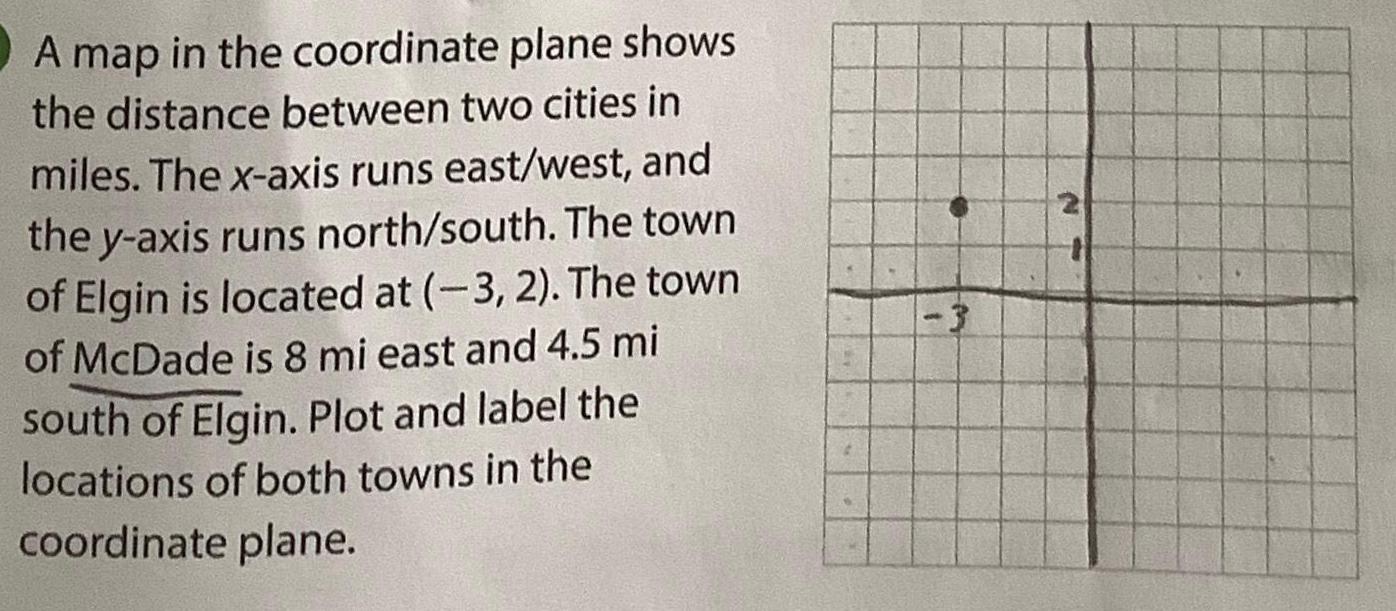
A map in the coordinate plane shows the distance between two cities in miles. The x-axis runs east/west, and the y-axis runs north/south. The town of Elgin is located at (-3, 2). The town of McDade is 8 mi east and 4.5 mi south of Elgin. Plot and label the locations of both towns in the coordinate plane. -3 2
Step by Step Solution
There are 3 Steps involved in it
1 Expert Approved Answer
Step: 1 Unlock

Question Has Been Solved by an Expert!
Get step-by-step solutions from verified subject matter experts
Step: 2 Unlock
Step: 3 Unlock